East Challow
Civil parish in Engeland  | |||
|---|---|---|---|
  | |||
| Situering | |||
| Regio | South East England | ||
| Graafschap | Oxfordshire | ||
| District | Vale of White Horse | ||
| Coördinaten | 51° 35' NB, 1° 27' WL | ||
| Algemeen | |||
| Oppervlakte | 6,3517 km² | ||
| Inwoners (2011) | 121 (19 inw./km²) | ||
| Overig | |||
| ONS-code | E04012127 | ||
| Foto's | |||
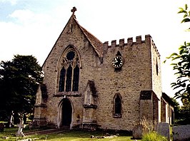 | |||
| St.-Nicolaas-kerk. | |||
| |||

East Challow is een civil parish in het bestuurlijke gebied Vale of White Horse, in het Engelse graafschap Oxfordshire. In 2001 telde het dorp 1071 inwoners.[1]
Bronnen
- ↑ Neighbourhood Statistics[dode link]
Externe links
- http://www.oxfordshirevillages.co.uk/valevillages/east_challow.html


