Zambrano (Bolívar)
Pour les articles homonymes, voir Zambrano.

Cet article est une ébauche concernant une localité colombienne.
Vous pouvez partager vos connaissances en l’améliorant (comment ?) selon les recommandations des projets correspondants.
| Zambrano | |||
 Blason |  Drapeau | ||
| Administration | |||
|---|---|---|---|
| Pays |  Colombie Colombie | ||
| Département |  Bolívar Bolívar | ||
| Fondation | 1770 | ||
| Code DANE | 13894 | ||
| Démographie | |||
| Gentilé | Zambranero | ||
| Population | 10 246 hab. (2005[1]) | ||
| Densité | 36 hab./km2 | ||
| Géographie | |||
| Coordonnées | 9° 45′ 00″ nord, 74° 49′ 00″ ouest | ||
| Altitude | 5 m | ||
| Superficie | 28 700 ha = 287 km2 | ||
| Localisation | |||
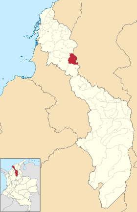 Carte de Zambrano | |||
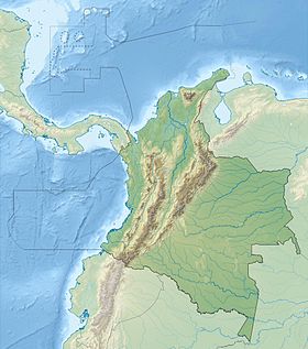
| Géolocalisation sur la carte : Colombie
Géolocalisation sur la carte : Bolívar (relief)
| |||
| Liens | |||
| Site web | www.zambrano-bolivar.gov.co | ||
modifier  | |||


Zambrano est une municipalité située dans le département de Bolívar, en Colombie.
Références
v · m Subdivisions du département de Bolívar, en Colombie | |
|---|---|
|
 Portail de la Colombie


