Whitehouse, Argyll
Human settlement in Scotland
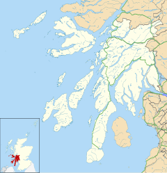

Whitehouse
Location within Argyll and Bute
- Argyll and Bute
- Argyll and Bute
- Argyll and Bute
- Argyll and Bute
Whitehouse (Scottish Gaelic: An Taigh Bàn, pronounced [ən̪ˠ t̪ʰɤj ˈpaːn]) is a hamlet on the Kintyre Peninsula in Argyll and Bute, west of Scotland.[1][2] It is located around 5.5 miles (9 km) southwest of Tarbert and around 25 miles (40 km) north of Campbeltown.
References
External links
- Map sources for Whitehouse, Argyll
![]() Media related to Whitehouse, Argyll and Bute at Wikimedia Commons
Media related to Whitehouse, Argyll and Bute at Wikimedia Commons
Portal:
 Scotland
- v
- t
- e


