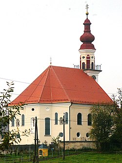
Sankt Pantaleon
Place in Upper Austria, Austria
St. Pantaleon Pontigo | |
|---|---|
 | |
 Coat of arms | |
| 48°00′26″N 12°53′44″E / 48.00722°N 12.89556°E / 48.00722; 12.89556 | |
| Country | Austria |
| State | Upper Austria |
| District | Braunau |
| Government | |
| • Mayor | Valentin David (ÖVP) |
| Area [1] | |
| • Total | 18.33 km2 (7.08 sq mi) |
| Elevation | 436 m (1,430 ft) |
| Population (2018-01-01)[2] | |
| • Total | 3,085 |
| • Density | 170/km2 (440/sq mi) |
| Time zone | UTC+1 (CET) |
| • Summer (DST) | UTC+2 (CEST) |
| Postal code | 5120 |
| Area code | +43 6277 |
| Vehicle registration | BR |
| Website | www.stpantaleon.at |
St. Pantaleon (Central Bavarian: Pontigo) is a municipality in the district Braunau in Upper Austria, Austria. A monument was erected by the riverlet Moosach in memory of the slave workers engaged there in 1940/41 at the Weyer concentration camp.
Geography
St. Pantaleon lies in the Innviertel. About 24 percent of the municipality is forest and 64 percent farmland.
- v
- t
- e
Places adjacent to Sankt Pantaleon
| Ostermiething | Haigermoos | Franking |
 | ||
| Fridolfing (Germany) |  St. Pantaleon St. Pantaleon | |
 | ||
| St. Georgen bei Salzburg |
References

Wikimedia Commons has media related to Sankt Pantaleon.

Authority control databases | |
|---|---|
| International |
|
| National |
|
 | This Upper Austria location article is a stub. You can help Wikipedia by expanding it. |
- v
- t
- e


