Pramet
Place in Upper Austria, Austria

Coat of arms
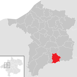
Location in the district
[1]
(2018-01-01)[2]
4925
Pramet is a municipality in the district of Ried im Innkreis in the Austrian state of Upper Austria.
Geography
Pramet lies in the Innviertel. About 31 percent of the municipality is forest, and 59 percent is farmland.
References
Wikimedia Commons has media related to Pramet.
- v
- t
- e
Municipalities in the district of Ried
- Andrichsfurt
- Antiesenhofen
- Aurolzmünster
- Eberschwang
- Eitzing
- Geiersberg
- Geinberg
- Gurten
- Hohenzell
- Kirchdorf am Inn
- Kirchheim im Innkreis
- Lambrechten
- Lohnsburg
- Mehrnbach
- Mettmach
- Mörschwang
- Mühlheim am Inn
- Neuhofen im Innkreis
- Obernberg am Inn
- Ort im Innkreis
- Pattigham
- Peterskirchen
- Pramet
- Reichersberg
- Ried im Innkreis
- St. Georgen bei Obernberg am Inn
- St. Marienkirchen am Hausruck
- St. Martin im Innkreis
- Schildorn
- Senftenbach
- Taiskirchen im Innkreis
- Tumeltsham
- Utzenaich
- Waldzell
- Weilbach
- Wippenham

Authority control databases | |
|---|---|
| International |
|
| National |
|
 | This Upper Austria location article is a stub. You can help Wikipedia by expanding it. |
- v
- t
- e


