Melinda Airport
Airport

MDB
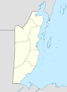
Location of Melinda Airport in Belize
| Direction | Length | Surface | |
|---|---|---|---|
| m | ft | ||
| 09/26 | 460 | 1,509 | Gravel |
Source: HERE Maps[1] GCM[2]
Melinda Airport (IATA: MDB, ICAO: MZML) is an airstrip just east of Hope Creek, a village in the Stann Creek District of Belize. The gravel runway is on the south edge of the Melinda Forest Reserve,[3] and just off the Hummingbird Highway.
The Belize VOR-DME (Ident: BZE) is located 32.2 nautical miles (60 km) north of the runway.[4]
See also
 Belize portal
 Aviation portal
- Transport in Belize
- List of airports in Belize


References
External links
- OpenStreetMap - Melinda Airport
- OurAirports - Melinda Airport
- Accident history for MDB at Aviation Safety Network
- v
- t
- e
- Belize portal
- Belize City: Goldson International
- Belize City: Municipal
- Belmopan
- Big Creek
- Caye Caulker
- Caye Chapel
- Chan Chen
- Corozal
- Dangriga
- Gallon Jug
- Independence
- Manatee
- Melinda
- Orange Walk
- Placencia
- Punta Gorda
- San Ignacio Spain
- San Ignacio Town
- San Pedro
- Sarteneja
- Silver Creek
- Turneffe Atoll
 | This Belize-related article is a stub. You can help Wikipedia by expanding it. |
- v
- t
- e
 | This article about a Central American airport is a stub. You can help Wikipedia by expanding it. |
- v
- t
- e


