Burnabbie
Former pastoral lease in Western Australia

Burnabbie Station
class=notpageimage|
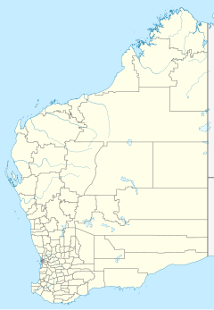
Location in Western Australia32°07′53″S 126°17′58″E / 32.13127°S 126.29931°E / -32.13127; 126.29931 (Burnabbie)
Burnabbie or Burnabbie Station is a defunct pastoral lease that once operated as a sheep station. It is located about 50 kilometres (31 mi) south west of Cocklebiddy and 430 kilometres (267 mi) east of Norseman in the Goldfields of Western Australia.
The station has existed since before 1941. The owners in that year were brothers H.E. and A.J. Carlisle, who disposed of their stock and enlisted in the army.[1]
The ruins of the old homestead are found along the road from the highway to the Eyre Bird Observatory in the Nuytsland Nature Reserve.[2]
See also
References
- v
- t
- e
Stations in the Goldfields–Esperance region of Western Australia
- Adelong
- Arubiddy
- Balgair
- Bandya
- Banjawarn
- Boonderoo
- Burnabbie
- Credo
- Edjudina
- Erlistoun
- Fraser Range
- Glenorn
- Kinclaven
- Korong
- Lake Wells
- Laverton Downs
- Mertondale
- Mount Celia
- Mount Elvire
- Nambi
- Leinster Downs
- Madura
- Minara
- Nanambinia
- Noondoonia
- Pinnacles
- Rawlinna
- Sturt Meadows
- Tarmoola
- Weebo
- Yakabindie
- Yerilla
- Yundamindera


